NAME
Iceberg - Copernicus Sea Ice Berg satellite observations
DESCRIPTION
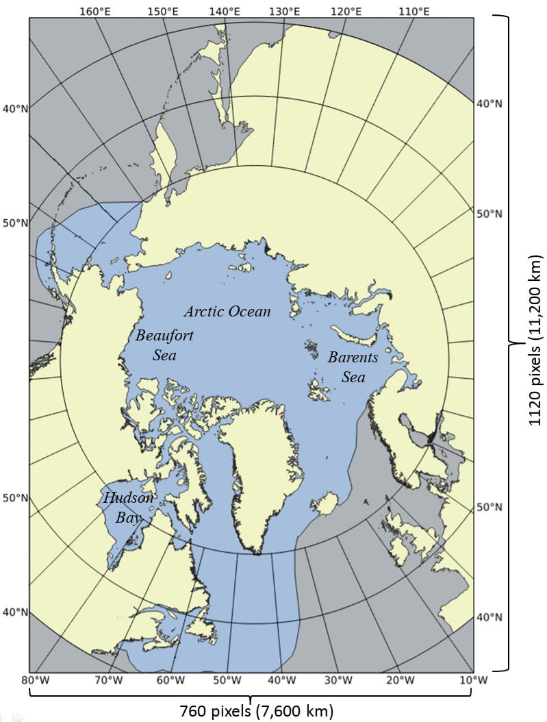
This product fetches observation data from the SAR Sea Ice Berg Concentration and Individual Icebergs Observed with Sentinel-1 & RCM dataset, covering the Arctic ocean plus parts of the northwestern Atlantic as shown.
This product is intended for a university course and can be terminated without notice after June 2026. Data files are currently updated manually, so the latest files may take some days to show up. Currently data from Jan 2023 are available.
DATA FORMAT
Data are delivered in GeoJSON, containing observations for weekly intervals.
- BRGARE
-
The area of the iceberg (square meters). I.e. the summed area of the pixels making up the iceberg
- IA_BLN
-
Maximum horizontal iceberg length (meters) at the waterline level – this distance is derived as the maximum distance (edge to edge) in the polygon circumferencing the pixel-cluster that makes up the iceberg in the SAR imagery
- IA_BCN
-
Local iceberg concentration based on distance to nearest iceberg in nautical miles (nm). Distance categories in SIGRID3 code format:
10: >45 nm between icebergs 20: 15 - 44 nm between icebergs 30: 10 - 14 nm between icebergs 40: 7 - 10 nm between icebergs 50: 5 - 6 nm between icebergs 60: 3 - 4 nm between icebergs 70: 1 - 2 nm between icebergs 80: 0.5 - 1.0 nm between icebergs 90: <0.5 nm between icebergs 99: Undetermined/Unknown - ais_chk
-
Shows whether the observation is checked for being located in the neighborhood of a registered ship-track. If the target is on/close to a track, then it is most likely a ship rather than an iceberg. If AIS data were available for the applied satellite scene this field will be assigned the distance to the nearest ship in km, otherwise it will get the value “NA”.
For more details, see the dataset documentation.
USAGE
Parameters
- date (optional)
-
Fetch data for the weekly interval ending with
dateof format "YYYY-MM-DD". If not specified, use the latest data for the current month. - period (optional)
-
Used only with /available. List all data files for the month given in
periodof format "YYYY-MM". Defaults to all months since Jan 2023.
Sample request URLs
https://api.met.no/weatherapi/iceberg/0.1/https://api.met.no/weatherapi/iceberg/0.1/?date=2026-02-01https://api.met.no/weatherapi/iceberg/0.1/available.json?period=2026-02https://api.met.no/weatherapi/iceberg/0.1/available.json# SLOW
Methods
- /available
-
List all files, optionally for a given monthly period
LICENSE
The data and illustrations are licensed using the Copernicus Marine Service data license.
CHANGELOG
Version 0.1: 2026-02-16
Initial beta version