NAME
Icemap - Maps howing current ice conditions in the arctic regions
DESCRIPTION
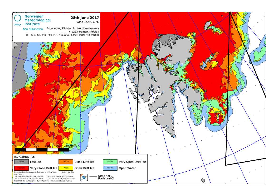
This service delivers ice maps in JPEG format. They are made by the Norwegian Meteorological Institute’s IceService in Tromsø, and are mainly based on satellite information.
The plots show different ice-categories (Fast Ice, very close drift ice, close drift ice, open drift ice, very open drift ice, and open water). The plot gives also information about the sea-surface temperature in the area.
USAGE
Parameters
Parameters for this handler are:
- type (optional)
Type of image, how the ice-categories are plotted, the default value is mono:
- content_type (optional)
Content type of returned file. Currently supported formats are jpg( image/jpeg ). If no content_type is given image/jpeg will be returned.
- area (mandatory)
This parameter is mandatory and describes the area to return an ice map for. Current available areas are:
- norwegian_arctic_areas, from the Baltic sea in the South-west to the Northpole and to Greenland in the west.
- north_sea, The North-sea with Great Britain to Iceland to the Baltic Sea in the east.
- svalbard, Overview map of the ice around Svalbard to Bjørnøya and west to Greenland (landscape).
- svalbard_high, high-resolution, zoomed in map for the coast around Svalbard (portrait).
- barents_sea, the Barents sea with Novaja Semlja
- western_norwegian_sea, east-coast of Greenland, west of Iceland
Find the available list per area as in this sample request:
https://api.met.no/weatherapi/icemap/1.0/available?area=barents_sea
Available
This product support the available list. The list contains a name label for the icemap areas in Norwegian.
Healthcheck
To check if any files that should be available are missing,
please use https://api.met.no/weatherapi/icemap/1.0/healthcheck .