NAME
Turbulence - Turbulence prognosis charts
DESCRIPTION

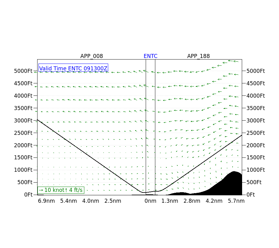
This product returns a turbulence forecast as a PNG image. Two types are available, maps and cross sections.
Forecasts are generated every three hours, for 0-18 hours ahead. This means that unlike version 1.1, you now must download each file several times to get current data.
USAGE
Parameters
icao (mandatory)
ICAO code of the airport where you want the forecast
Values: ENAL, ENBL, ENBN, ENDU, ENEV, ENHF, ENHK, ENHV, ENLK, ENMH, ENMS, ENOV, ENRA, ENSB, ENSD, ENSH, ENST, ENTC, ENVA
type (mandatory)
Specify which view to be returned.
Values: cross_section, map
This can also be used as an endpoint,
e.g.
https://api.met.no/weatherapi/turbulence/2.0/map?icao=ENTC
time
The time for which you want a forecast. If not specified, the current hour is used.
Times are in ISO format: yyyy-mm-ddThh:mm:00Z.
Example requests:
https://api.met.no/weatherapi/turbulence/2.0/map?icao=ENTChttps://api.met.no/weatherapi/turbulence/2.0/?icao=ENTC&type=cross_section&time=2026-07-25T21:00:00Z
Available
A list of available images can be retrieved in XML (default) or JSON format:
https://api.met.no/weatherapi/turbulence/2.0/available
Optionally, you can specify the "type" and/or "icao" parameters to filter the listing:
https://api.met.no/weatherapi/turbulence/2.0/available.json?type=map&icao=ENBN
CHANGELOG
Version 2.0 now operational, 2023-06-08
- No changes to the layout and number of airports
- Forecasts update every 3 hours (earlier every 12 hours)
- Forecast length is 18 hours (previously 12 hours)
- No major difference in forecast quality
New version 2.0 beta, 2023-03-09
Mostly interface but charts generated by different backend (view has been renamed type to conform to rest of API)
Minor update, 2020-12-07
- Vigra added. Fagernes, Narvik and Gimsøya removed
- Now possible to search using ICAO code. In the future this parameter will be default, and location removed from the available string
version 1.1, 2013-10-09
- Include forecats from the near past in the result from the 'available' action.
- Added the 'view' parameter to the 'available' action.
- Version 1.0 will be available until 2014-07-01.
version 1.0, 2013-09-19
Initial version.